
07 3396 9988
South Cape to Storm Bay
SKU:
AUS795 Category:
$0.00
Description:
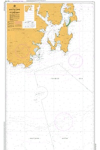
AUS CHART 795 - South Cape to Storm Bay
Chart Number Aus795
Title Australia - Tasmania - South Cape to Storm Bay
Geog Location Australia
North Lat 43 06.10 S
South Lat 44 19.70 S
East Long 147 37.00 E
West Long 146 37.60 E
Scale 1:150000
Projection mercator
Pub Date 25-Sep-1968
Edition Date 29-Aug-2008
:: Notices to Mariners ::
2012 1257 1128
2010 1177 600 494
2009 831 69
1993 56tc
Additional Info:
The Australian Hydrographic Service currently has over 400 paper charts. All our charts are fully corrected and update to date with the latest Notices to Mariners. The Australian Hydrographic Service was established, and assumed responsibility for hydrographic surveys in Australia, in 1920. In 1946, Cabinet decided that the Royal Australian Navy (RAN) would maintain the national responsibility for hydrographic surveying, nautical charting and the provision of hydrographic services. RAN is responsible for meeting Australia's obligations to provide hydrographic services as required by the International Convention for the Safety of Life at Sea (SOLAS). Its traditions and methods take their origins from those of the Royal Navy and the pioneers of hydrography.